The Spit to Manly: bush, beaches and engravings
From the Spit Bridge to Manly, a bush track wanders round the northern shore of the harbour for about ten kilometres, past sandy coves, sandstone headlands, ancient engravings and a small harbour pool.
Sydney's other great coastal walk is quieter, greener and longer than the cliff path in the eastern suburbs. The track from the Spit Bridge to Manly follows the northern shore of the harbour for about ten kilometres, and for long stretches you could forget there is a city of five million people a few kilometres away. There are bush gullies full of angophoras, small sandy beaches with nobody on them, sandstone headlands with views straight out through the heads, and some of the most important Aboriginal rock engravings around the harbour.
Allow three to four hours of walking, plus time for swims and stops. Most of the track is a narrow bush path with steps, roots and some rock scrambles, so wear proper shoes rather than sandals. It is a walk to finish with a ferry ride, and there are few better ways to end a day in Sydney.
From the Spit Bridge to Clontarf
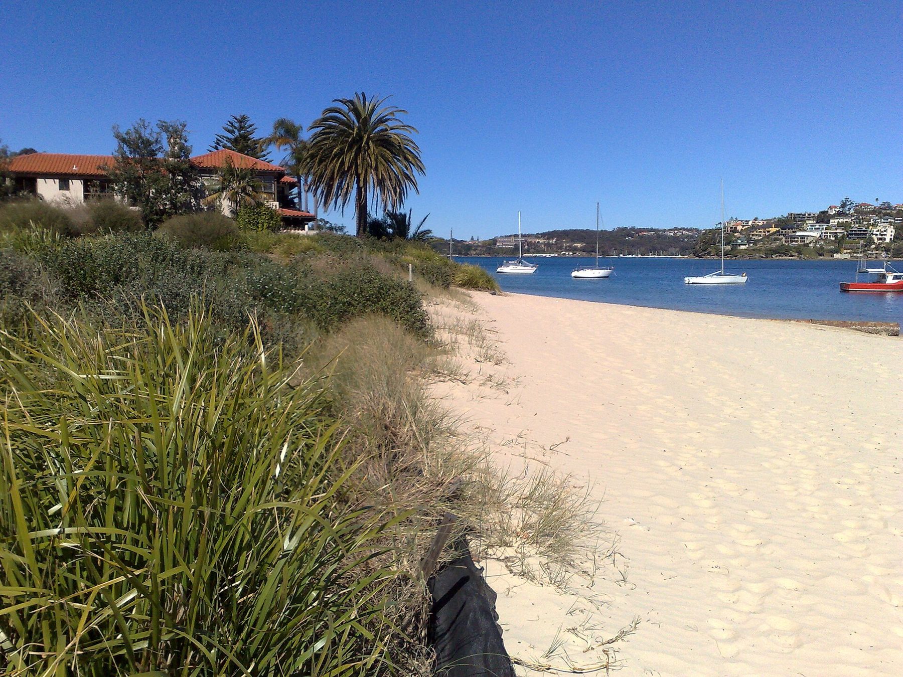
The walk starts at the northern end of the Spit Bridge, where the road crosses Middle Harbour. Buses from the city and the lower north shore stop near the bridge; routes change, so check before you go. From the bridge, the path runs east along the water's edge, past moored boats and the backs of harbourside gardens, before reaching the long, gentle sand of Clontarf.
Clontarf is a calm, family beach facing back across Middle Harbour, with a large grassy reserve, picnic tables and shade under the trees. It is the natural place for a first stop, and on a still morning the water is clear and flat enough for a slow swim. The beach is not patrolled by lifeguards in the way the ocean beaches are, so swim within your depth and keep an eye on any children.
Through Sydney Harbour National Park
Beyond Clontarf the track climbs into the bush, and soon you are inside Sydney Harbour National Park, which protects the headlands from here almost all the way to Manly. The national park covers scattered pieces of harbour shoreline on both sides of the water, and this northern stretch is one of its largest and wildest sections.
The path drops to Castle Rock Beach, a small cove with rocky ends and calm water, then climbs again through banksias, she-oaks and sandstone overhangs. Look for lizards sunning themselves on the rocks and, in spring, a mass of native wildflowers. Water dragons, wrens and honeyeaters are common, and the views across to the southern headlands open up as you climb.
Grotto Point: engravings and a lighthouse
A side track leads out to Grotto Point, and it is worth the detour. On a flat area of sandstone near the track are Aboriginal rock engravings: figures of fish and other animals and objects, cut into the rock by the traditional custodians of the harbour's northern shore. They are part of a living culture, not a relic, and the site is protected.
Walk only on the marked path and boardwalk, keep off the engraved surfaces, and never chalk, scratch or mark them. The figures can be hard to see in flat midday light; early morning or late afternoon, when the low sun throws shadows into the grooves, shows them best. Take your time, and look rather than touch.
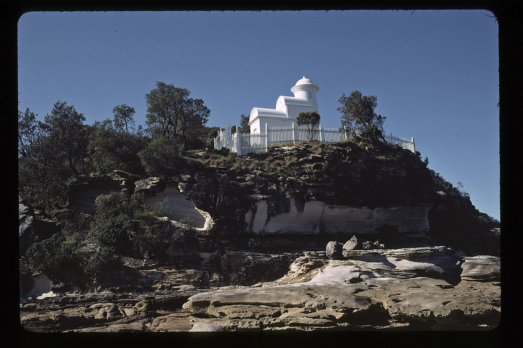
At the tip of the point stands Grotto Point Lighthouse, a small white tower that looks more like a miniature castle than a working light. It is one of a pair of lights that help ships line up on their way through the heads. You cannot go inside, but the rocks around it are a fine place to rest and watch the harbour traffic.
They are part of a living culture, not a relic, and the site is protected.Lane 12 · Sydney HarbourNetted pools and harbour baths
Dobroyd Head, Reef Beach and Forty Baskets
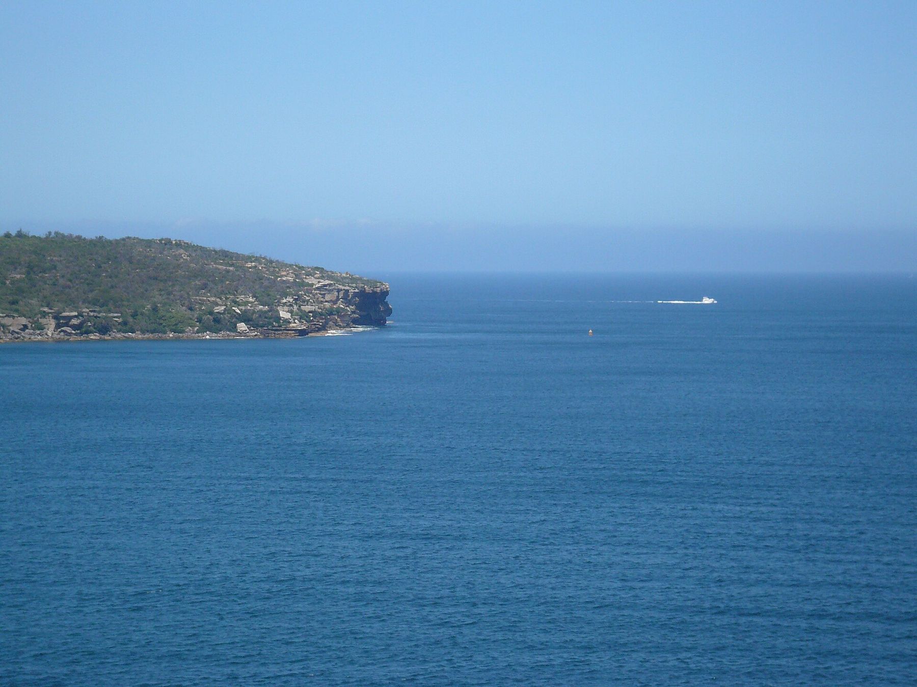
Back on the main track, the path climbs onto Dobroyd Head, the high point of the walk. From the top the view takes in North Head, South Head, the open ocean beyond and the long arm of the harbour leading back to the city. Below the headland, tucked into the cliffs at Crater Cove, a cluster of old stone and timber huts survives from the days when fishermen and drifters camped on this coast in the early twentieth century. They are protected now, and best seen from the track above.
From Dobroyd Head the track drops steeply towards Reef Beach, a quiet, sandy cove backed by bush, then on to Forty Baskets Beach. Here a small netted harbour pool sits at the edge of the sand, a calm place for a swim before the last stretch. It is shallow and sheltered, popular with locals and families, and refreshingly free of crowds compared with Manly itself.
The beaches on this stretch face the harbour, not the open sea, so there is no surf to speak of. That does not make them risk-free: the water deepens quickly off the rocks, boats pass close to shore, and there are no lifeguards. Swim with a companion and stay near the sand.
After Forty Baskets the bush gives way to houses. The path follows the shore through Fairlight, past rock pools and small harbour beaches, before arriving at Manly Cove and the wharf.
Finishing at Manly
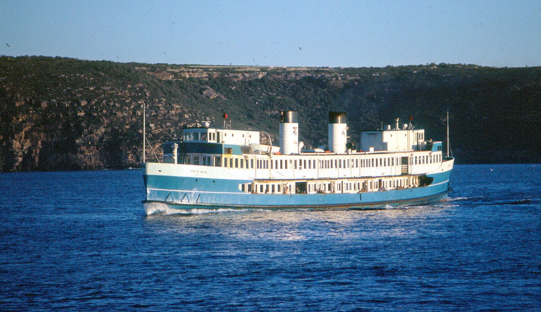
Manly is a fine place to finish. The ferry wharf is right on the cove, and ferries cross the harbour to Circular Quay through the day and into the evening. The crossing takes about half an hour and passes the heads, the sandstone cliffs and the city skyline. Timetables change, so check before you go, especially for late sailings.
If you still have energy, walk across the Corso to the ocean side of Manly and round to the sheltered pool and marine reserve covered in the story on Fairy Bower and Shelly Beach. Further up the peninsula, the ocean pools from Dee Why to North Narrabeen are a bus ride away.
Track sense
- Carry plenty of water. There are taps at Clontarf and Manly, but very few in between.
- Wear sturdy shoes: the track has steps, roots and some rock scrambles.
- Start early in summer, when the exposed headlands can be very hot.
- Stay on the marked track, especially near the engravings and the cliff edges.
- Take your rubbish home and leave flowers, rocks and shells where they are.
- After heavy rain, skip the harbour swims for a day or two and check the state's beach water quality reports.
The walk can be done in either direction, but finishing at Manly means the ferry is waiting at the end. For a shorter outing, start or finish at Clontarf, or at one of the bus stops along the streets above the track. When the ocean is too rough for swimming on the coast, this harbour shore is often calm and inviting, which makes it a good choice on days when the swell and tide rule out the ocean pools.
Neighbouring lanes
About six kilometres of cliff path link Bondi and Coogee, dipping to a beach every few minutes. Pack goggles: there are ocean pools at almost every bay, and the walk is better wet.
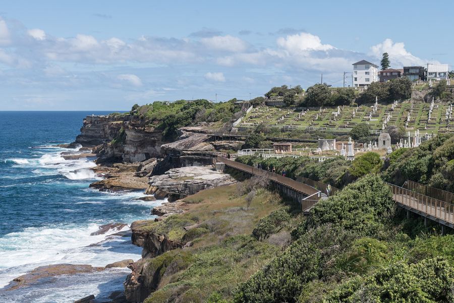
The same rock pool can be a glassy lap lane one morning and a churning wash of white water the next. A few minutes with the forecast tells you which you will find.